Most anglers misread river currents because they reduce the problem to fast versus slow water. Fish don’t hold in speed; they hold in transitions. This framework replaces guesswork with a systematic decoding of surface features—seams, boils, slicks, and foam lines—that reveal exactly where fish feed, day after day.
Think of the river’s surface as a data display, not just moving water. Every boil and current seam indicates a subsurface shape or flow change that dictates fish position. Instead of relying on luck, you’ll learn to read that display—a repeatable process that works whether you’re on the bank, wading, or floating.
Your Starting Point: Bank, Wading, or Drifting
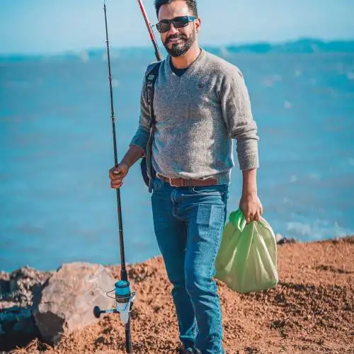
- Bank angler casting from shore – Use polarized lenses to scan surface patterns at a distance, focusing on seams and boils that signal structure.
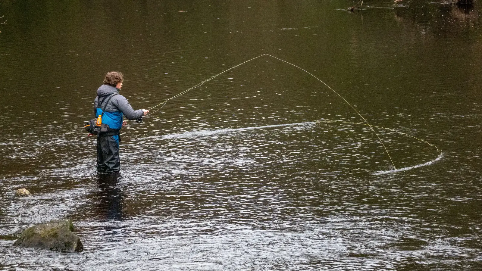
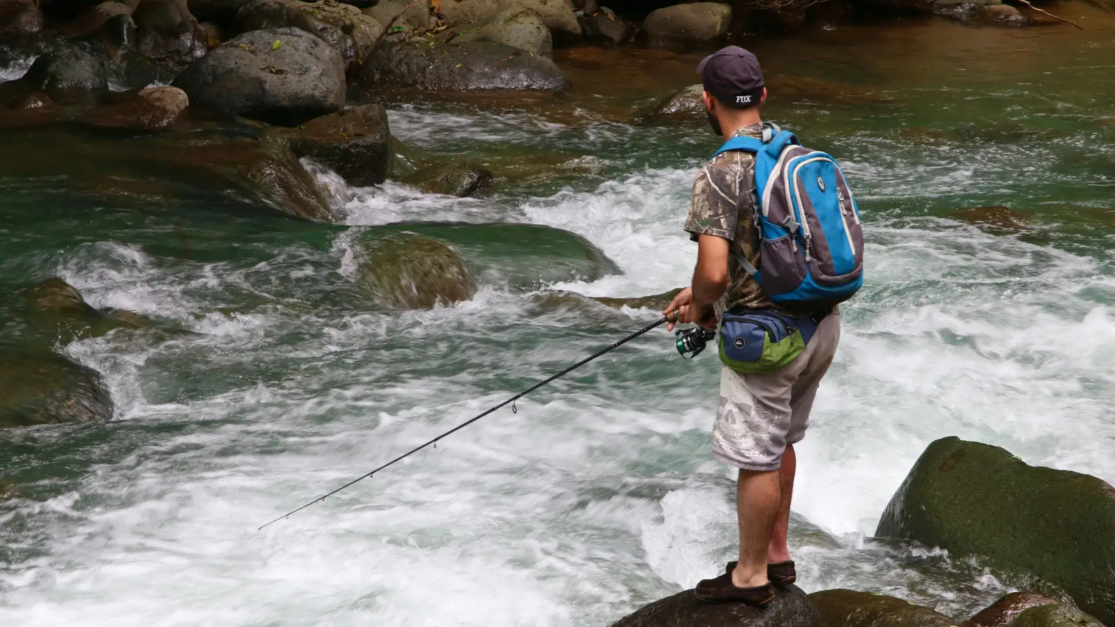
- Wading angler in shallow water – Combine visual cues with how current pushes against your legs; feel the bottom to confirm depth changes and locate exact lies.
- Boat or kayak angler drifting downstream – Read water 30–50 feet ahead, identifying seam lines and submerged features in advance; adjust boat position to cast into predicted lies before you drift over them.
Each route leads into the same systematic stages, just applied from different vantage points.
Stage 1: Learn the Surface Vocabulary — Boils, Seams, and Slicks
Goal: Stop seeing water as one uniform sheet and start parsing its distinct surface textures. The river speaks through boils (raised, swirling patches behind obstructions), seam lines (bubble trails dividing fast and slow water), and slicks (glassy flat zones over deep water). These aren’t random; they’re consistent indicators of current behavior.
What to do:
- On your next outing, set aside 10 minutes without casting. Stare at a 50-yard stretch and pick out at least three seam lines, two boils, and one slick.
- Sketch a crude map marking each feature. Don’t overthink it—just note where they appear.
- Repeat on different sections until you can instantly call them out from 30 feet away.
Readiness sign: You can stand on the bank and spot a seam, a boil, and a slick without second-guessing. At that point, your eyes have learned the basic vocabulary. Move on only then.
Stage 2: Decode the Bottom from the Top — Reading Submerged Structure
Goal: Infer the shape of the riverbed without wading or sonar. Surface disturbances—whitewater, standing waves, flat slicks, foam trails—directly correlate to depth changes, rock placement, and current seams.
What to do:
- Walk or drift a stretch and mentally catalog every surface feature. A standing wave almost always means a submerged rock; an elongated slick often marks a trench or slot.
- Test assumptions by dragging a sinking lure to feel depth shifts, or wade in safe areas to confirm the bottom.
- Build the ability to sketch a cross-section of the river channel from surface evidence alone.
Readiness sign: After observing a 100-yard section, you can draw a rough map of the deep channel, boulders, and drop-offs using only what the surface tells you. That’s proof you’re reading the water, not just looking at it.
Stage 3: Find the Feeding Lanes — Where Seams and Structure Intersect
Goal: Overlap your seam map from Stage 1 with your structure map from Stage 2 to pinpoint the exact spots where fish hold to feed with minimal energy.
What to do:
- For each seam line, check whether it runs alongside a submerged rock, drop-off, or log. Mark the downstream side of boulders—the cushion where current splits creates a prime ambush point.
- Identify “V” formations in current: the point of the V points to a subsurface object, and fish often station on the inside edge.
- Fish each predicted location methodically: first cast to the seam edge just upstream of the structure, then drift through the cushion, then probe the tailout.
Readiness sign: You can approach a new river section, spend five minutes observing, predict two or three specific holding lies, and catch fish from those exact spots on your first few casts. That signals you’ve mastered the intersection. Move on to more complex hydraulic scenarios.
Stage 4: Adjust for Hydraulics and Complex Current Breaks
Goal: Refine your reading for eddy lines, backflows, converging currents, and depth-driven speed changes that shift fish position within a seam.
What to do:
- Identify eddy lines—the boundary between downstream current and a circular eddy; fish often suspend on the slow side facing the current.
- Track foam lines and debris trails: they collect where two currents merge or a current slows abruptly, forming food traps.
- Learn to read surface glassiness relative to wind: a slick on a windy day signals a major depth change below.
- Practice in different flows: high water flattens features, so look for broader foam lines and larger boil fields, applying the same principles at scale.
Readiness sign: On a stretch with multiple converging currents, you can stand on the bank and point out the exact feeding window—the 3-foot band where depth, speed, and structure align—and catch fish from it consistently. That means the system is fully operational.
Readiness Signs Recap — Your Progression Checklist
- You can spot a seam line, boil, and slick from 30 feet away instantly.
- You can sketch the riverbed shape from surface observations alone for a 100-yard section.
- On arriving at a new stretch, you predict two to three specific holding lies and catch fish from them in the first few casts.
- You can identify the exact feeding window in a complex current scenario and consistently catch fish from it.
What to Ignore for Now — Common Distractions That Can Wait
- Water temperature – Temperature shifts behavior, but knowing the number doesn’t matter if you can’t find fish. Lock in current-based location first; layer in temperature preferences later.
- Exact current speed in feet per second – The gradient of speed change matters far more than a precise velocity. Train your eyes to see the relative difference; leave the meter at home until the visual language is automatic.
- Species-specific preferences – A smallmouth and a trout both use seams. They may prefer slightly different depths, but the underlying reading system is the same. Find the prime holding water first, then fine-tune to the species.
- Lure selection and color – Casting the perfect lure to dead water is pointless. Identify the feeding zones; matching the hatch or baitfish follows naturally once you know where fish are.
These become relevant only after the core current-reading skill is built. Trying to learn them simultaneously leads to slow, confused progress.
FAQ: Common Questions When Reading River Currents
How do I read currents in murky or stained water?
Surface texture doesn’t depend on clarity. Boils, slicks, and foam lines remain visible even in muddy water. Polarized glasses cut glare; sound can also guide you—listen for the change from riffle chatter to deeper silence. Wading to feel bottom changes confirms your surface reading.
Do currents behave differently at high versus low water?
Yes, but the same surface vocabulary works. High water flattens some features, so you’ll look for broader foam lines and larger boil fields. Low water exposes structure directly. Recalibrate: a submerged boulder at high flow still creates a boil, just a softer one.
What about tidal rivers?
Tidal currents reverse direction, so seams shift. Apply the same reading logic but time your observations to each tide phase. During slack tide, surface clues may disappear; rely on visible bottom features or memory of moving-water patterns.
Does this method work for all species—trout, bass, walleye, catfish?
Yes. Every river fish uses current to deliver food and conserve energy. Trout often hold in faster, oxygen-rich seams; bass may prefer eddy edges near cover. The systematic decoding of seams, hydraulics, and submerged topography reveals where any fish will station itself.
Can I use this system from a boat without getting close?
Yes. From a drift boat or kayak, scan 30–50 feet ahead, reading surface texture and foam lines. As you approach, adjust your cast to the predicted lies. With practice, you’ll read at speed and even anticipate seams around the next bend by surface continuity.
From Reading to Catching: The First Step on Your Next Trip
When you can look at a stretch of river and see not just water but a three-dimensional map of feeding zones, you’ve internalized the system. The very first action for any bank angler is to spend ten minutes tomorrow doing nothing but watching the surface—identify at least five distinct current features and mark them mentally. That single exercise replaces guesswork with a framework that will put you on fish consistently.