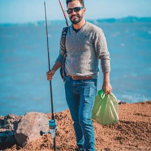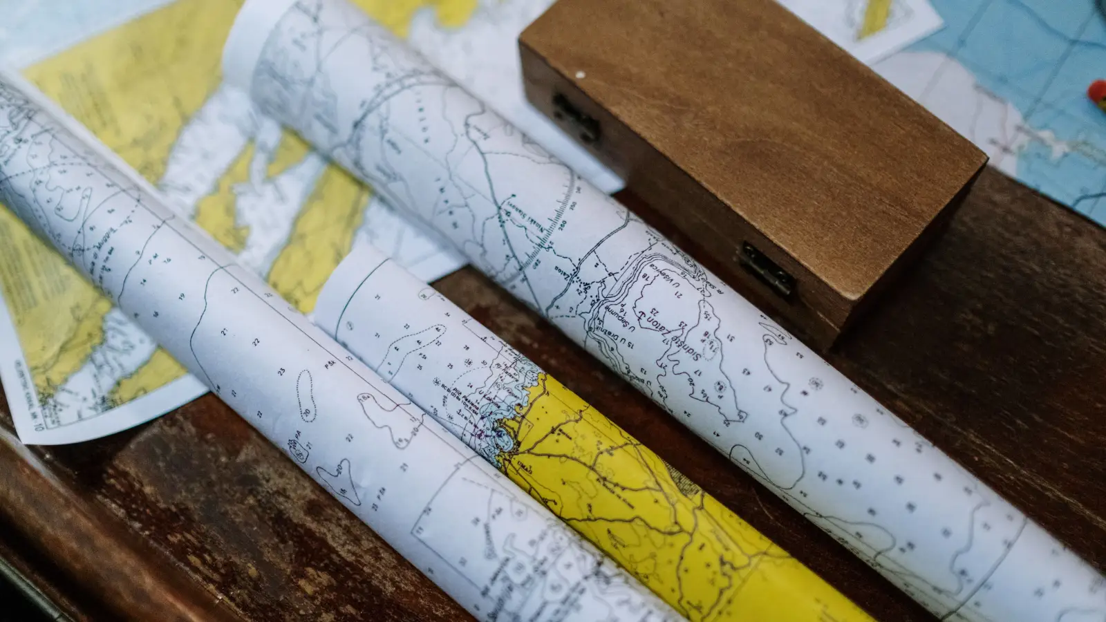
Bank anglers can beat the boat crowd by learning to read a map differently—focusing on steep shoreline drops, weedlines, and footpaths instead of deep open water. This simple shift in perspective puts you on fish that boaters can't reach, and it all starts with a topographic map.
Your Custom Shore Map: Ready to Fish
After following this checklist, you'll have a marked-up map showing exactly where to walk and cast. You'll see clearly where the bank drops off sharply, where vegetation gives fish cover, and which public path leads to untouched water. It's like having a local guide in your pocket.
The Bank Angler's Map-Reading Checklist
- Locate steep contour breaks along the shoreline within casting distance.
- Trace vegetation shading to find emergent cover and submerged weedlines.
- Identify public access points and trails leading to productive banks.
- Decode current seams and eddies on river maps using contour crowding.
- Adjust all marked spots for seasonal high and low water conditions.
Stop Looking at Deep Water—Find Shoreline Contour Breaks
Anglers often dream of offshore humps, but from the bank, the real magic happens along the shore. Look at the contour lines right where the land meets the water. If three lines bunch together and drop into the lake within 30 feet, that's a steep bank where bass and crappie hold tight. You don't need a boat; you can stand on that bank and work a lure parallel to the drop. It takes about five minutes to scan a mile of shoreline. The biggest rookie mistake is scanning the whole lake for deep structure and missing the prime real estate right under your feet.
Follow the Green: Vegetation Tells a Story
Nearly every topo map uses green shading for woods and wetlands. Trace that green edge along the shoreline, and you'll find cattail stands, flooded willows, and submerged weedbeds. Fish use these spots to ambush prey and escape the sun. Spend a minute identifying where the green meets the water, then look for points or pockets in that cover—these are natural ambush lanes. One common error is assuming every green patch is accessible; some are too dense or protected. Always double-check with a satellite image before hiking in.
Access Is Everything: Find the Legal Path In
Locating a great bank spot is useless if you can't get to it. Use your map to locate public land boundaries, trailheads, parking pull-offs, and even informal use paths. Many topo maps show thin dashed lines for trails. Cross-reference with county GIS data or on-the-ground signage. Budget 30 minutes before a trip to confirm access. The most common mistake is walking across private property to reach a tempting shoreline—this can ruin fishing spots for everyone and land you in trouble. Know before you go.
Rivers Aren’t Lakes—Read Current Seams and Eddies
On a river, contour lines do double duty: they show depth, but where they crowd together on a bend, they also signal faster current. Where they spread out, you'll find a slack eddy. These current breaks are where smallmouth and trout wait for food to drift by. Bank anglers can post up downstream of a seam and drift bait naturally. Spend 15 minutes per river bend identifying at least one seam and one eddy. The mistake many make is reading a river map like a lake map, ignoring the flow entirely—and then wondering why fish aren't where the deep water is.
Adjust for the Season—Water Levels Change Everything
Your map is a snapshot of the land at one time. Reservoirs drop in late summer; rivers swell in spring. Trace the high-water line—often marked by a parallel shoreline contour slightly inland—and note how it changes your drop-offs. A spot that's 2 feet deep in August might be 8 feet deep in May. Take five minutes to adjust your marks for the current level. The common slip-up is marking a spot in the spring and expecting it to produce in the fall without checking the depth.
Before You Hit the Trail: A Quick Map Check
- At least three distinct shoreline features are marked (drop-off, weedline, access).
- Access points are verified as legal and clearly mapped.
- Seasonal water level is accounted for.
- Vegetation edges match recent satellite imagery.
- Local regulations (park hours, license requirements) are noted.
FAQ
Can I use Google Maps instead of a topographic map?
Google Maps satellite view helps spot vegetation and access, but it doesn't show underwater contours. Pair it with a free USGS topo map or an app like Fishbrain or Navionics that overlays depth data.
What map scale is best for bank fishing?
A 1:24,000 (7.5-minute) series offers enough detail to see 10-foot contour intervals and shoreline features. For small ponds, a 1:10,000 custom print may be even better.
Do I need to mark spots on paper or can I use my phone?
Either way works. Phone apps let you save GPS waypoints and notes, but a paper map never runs out of battery. Many anglers mark a map at home, then use their phone to navigate on-site.
How do I read contour lines if I'm completely new?
Each line represents a fixed elevation. Lines packed close together mean a steep slope; lines far apart mean a flat one. The bank angler's trick is to find where the steepest slope meets the water's edge.
Should I mark spots before visiting or after I've explored?
Mark likely spots from a map first, then verify and refine them after you scout the area. Over time, you build a personal library of proven bank spots that no boater can replicate.
Put Your Map to Work
Your map is now your most valuable piece of gear. Walk to the steep drop-off, cast toward the reed edge, and trust the work you put in. For even faster results next time, bring a small notebook and jot down what you saw—water clarity, bait present, exact cast distance. Over a few trips, you'll build a bank angler's database that no boater can match.